Here are some aerial photos of the South Fork Boise River canyon downstream of Anderson Ranch Dam. Photos courtesy the US Forest Service
These are the first photos to emerge since the wildfire (Pony on the south side, Elk on the north side) swept through the canyon August 8 – 10.
Order is from upstream to downstream. If you click on the photo you will get a larger version and it will do a slide show of the seven pictures. If you just scroll through the article you get a little bit of commentary.
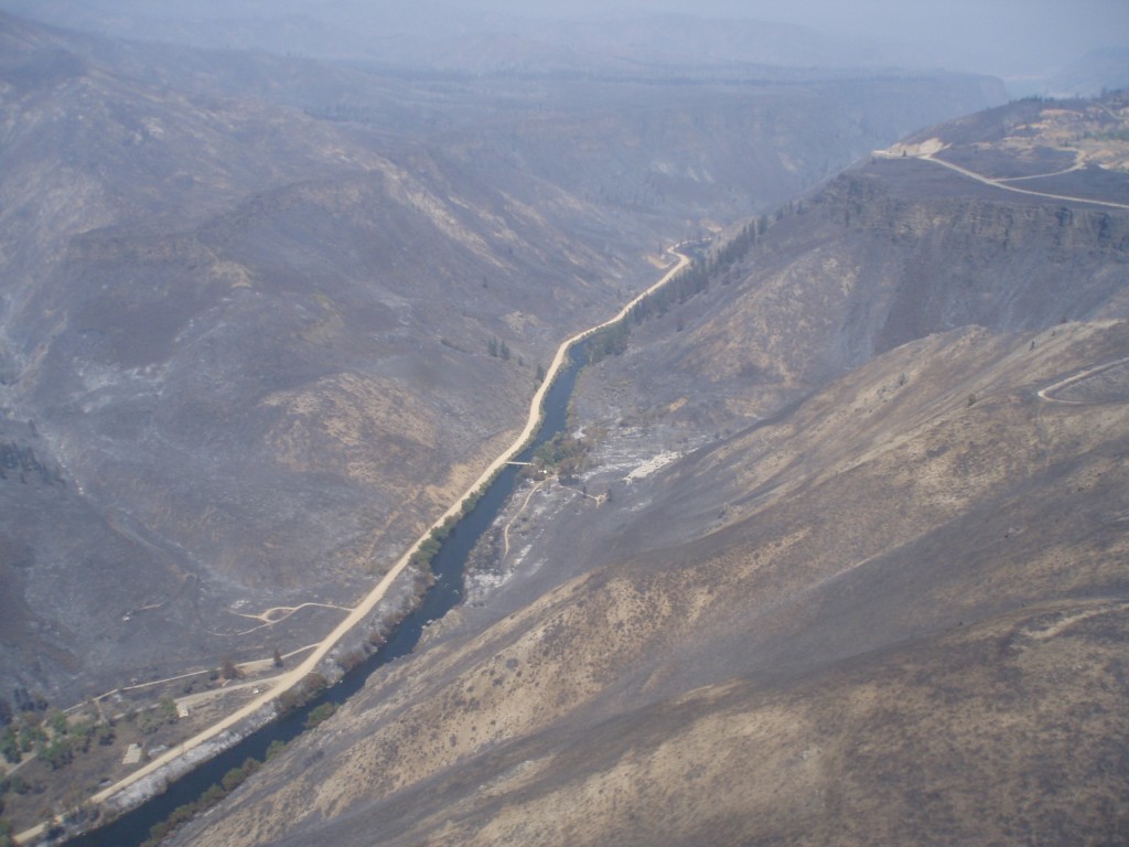
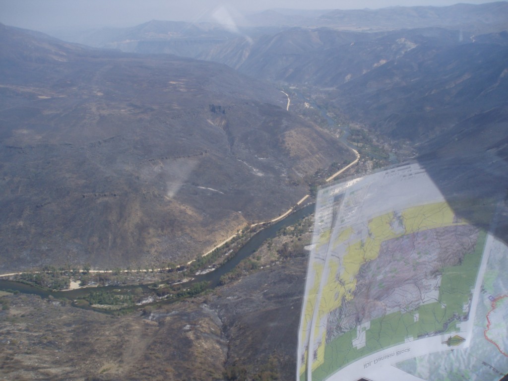
The single house at Reclamation Village is still standing. As are many trees, or at least the canopy is green. It appears the South Fork road and the driveway through Rec Village served as a fire break. Looking upstream, the bridge over the river leads to the home on the south side of the river and the area surrounding that appears to have burned severely. Reportedly the fire swept into the South Fork canyon from the Dixie area on the plateau to the south. It came down Dixie Creek and reportedly burned some out buildings. But in the foreground of the photo it appears some of the hill side has some unburned areas.
Further upstream on the hill slope south of the river it appears several conifers, ponderosa pine mainly, may have survived.
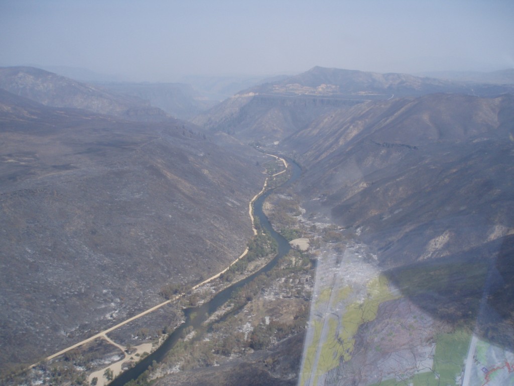
This photo shows three of the turn outs and campsites downstream of Reclamation Village, which is at the top of the photo. Obscured by the apparent greenery is the Reclamation Village boat launch, camping and rest room, designated as route 121I in the Boise National Forest Motor Vehicle Use Map. The dredge pile on the south side of the river (right side as we look upstream) may have protected some vegetation from the fire. It is across the river from the pull off 121J, also known by many as the Bridge Abutment Hole. Near the bottom of the photo is pull out and campsite 121K.
In this section of the river the hill sides burned severely on both sides of the river. The valley bottom has areas both burned and unburned. Both sides of the river have some areas that look relatively unscathed and others where some of the trees near the river were scorched.
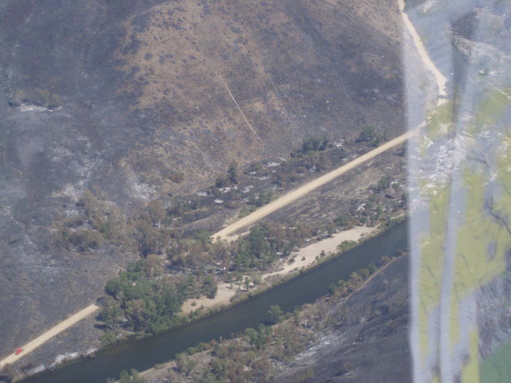
This photo shows the hill side on the north side of the river where areas are black and other spots appear not burned as severely or not burned. This is the 121L driveway and camp site.
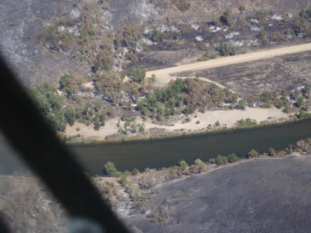
The fourth photo above narrows in on 121L and the river bank, and it gives us a good idea what burned and did not burn. While the scientific literature on the effects of fire on riparian areas is not that easy to find, one study published ten years ago has a synthesizes information with some observations potentially relevant to the South Fork Boise:
Most cottonwood and willow species respond to browsing by beaver and fluvial disturbances through coppice sprouting from stems, as well as production of root suckers (Rood et al., 1994). These adaptations also contribute to regeneration following fire. In floodplain forests along the Oldman River in southern Alberta, Canada, 75% of the cottonwood trees sprouted vigorously from stumps within 5 months of an early spring fire (Gom and Rood, 1999). Root suckers were also common, demonstrating that fire stimulated clonal regeneration of native riparian cottonwoods. In south-central New Mexico, over 40% of Rio Grande cottonwoods (Populus deltoides wislizenii) that burned in two study sites produced shoots that survived at least 2 years following fire (Ellis, 2001). About 73% of the native Goodding willow individuals produced shoot sprouts during the first 4 months following burning, but only 55% of the exotic tamarisk (Tamarix ramosissima) individuals sprouted (Ellis, 2001).
Importantly the paper also notes this caution:
Season of fire may be a critical factor in determining the capacity of cottonwoods and willows to survive fire. For example, severe summer fires in the southwestern US may kill some cottonwoods, particularly trees that are stressed or senescent (Busch and Smith, 1993; Busch, 1995).
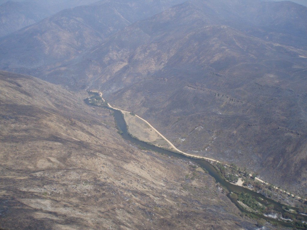
The photo above shows in the areas where the stream is braided into multiple channels the islands appear less affected than the riparian areas on outside stream banks. Campsites 121L and 121M are both in the photo.
The photographer then pivots and looks downstream with campsite 121M still in the frame. And, further in the distance is 121N where the South Fork and the road converge at the downstream end of the bench along the river.
In places along the canyon where the hill sides burned the immediate risk is a heavy storm could cause erosion. The government agencies will look first at emergency rehabilitation actions that need to be implemented to lesses the risk of negative effects from such storm events. Lots of rain could cause gully erosion and wash out a section of the road or put sediment into the South Fork of the Boise River.
For example, the ridge line in the distance of the photo above is the divide beyond which water drains into Rough Creek, the small stream that dumps in to the South Fork at the site of the 1996 landslide. If this catchment burned over and has little vegetation and ground cover a significant rain storm could lead to a gully washer-type event.
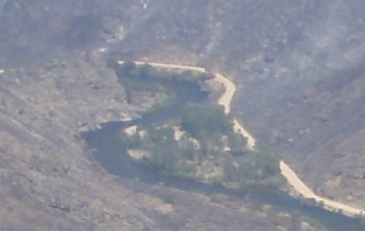
The last photo above is cropped from the previous one and zooms in on Indian Point (121O), the boat take out point for many float and fishing. The trees in this area appear rather unscathed.
No photos yet of areas downstream. When we get more information we will post it.
Photos courtesy the US Forest Service.


One Response to First Fire Photos Emerge