For many or most, the rods get stored away and skis are out for the winter. Angler use on the South Fork Boise River is light through the winter months until the fishing closes March 31. But through this phase the weather brings its own changes to the river. A rain on snow event is the type of winter event where water flows and erosion can affect the South Fork Boise River.
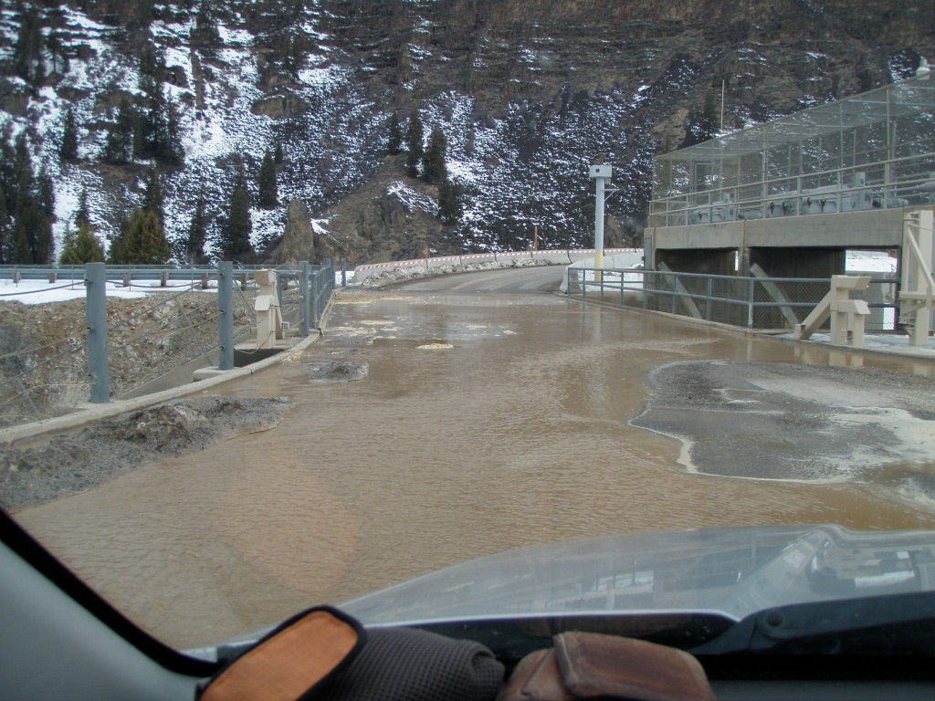
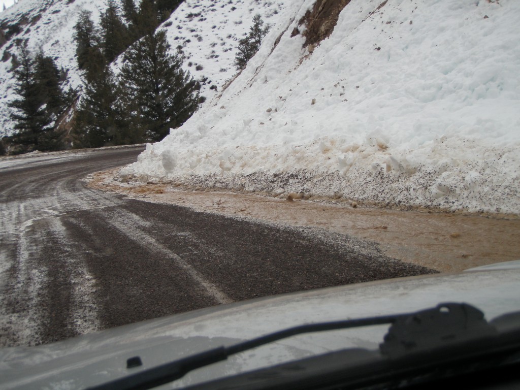
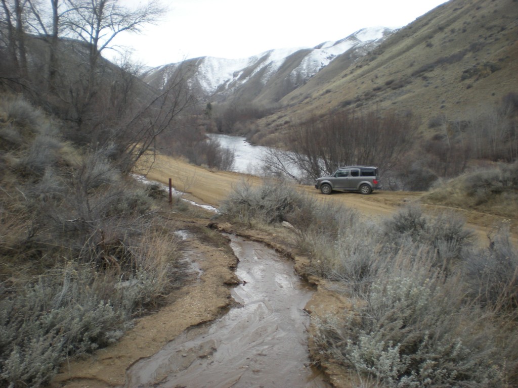
The storms in February and March brought snows to the canyon. In February warmer weather brought rains and rapid snowmelt. The photo above shows the water on the road crossing Anderson Ranch Dam. Photo below shows the water running down the road from the dam towards the South Fork Boise River.
Muddy water like this can eventually make its way to the South Fork Boise River unless proper drainage controls are in place.
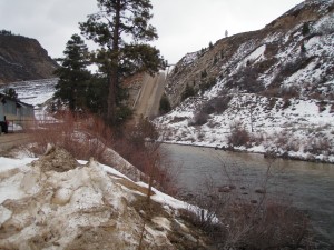 Some of the water running off the top of the dam made it down the spillway and into the river. The photo at left shows some turbid water along the south bank (far side) of the River.
Winter is the time when a road blow out or gully washer can affect the clarity of the river. Trout and other fish species are thought to avoid turbid waters and move away into the more clear waters if such waters are readily available. In addition, over some reach of the river the waters will mix and dilute some effects of the suspended sediment. A canal blowout on Dixie Creek in 1993 caused the entire river to run brown until the water from Little Camas was shut off and the canal patched. Fishing that weekend was confined to the upper one mile of the river.
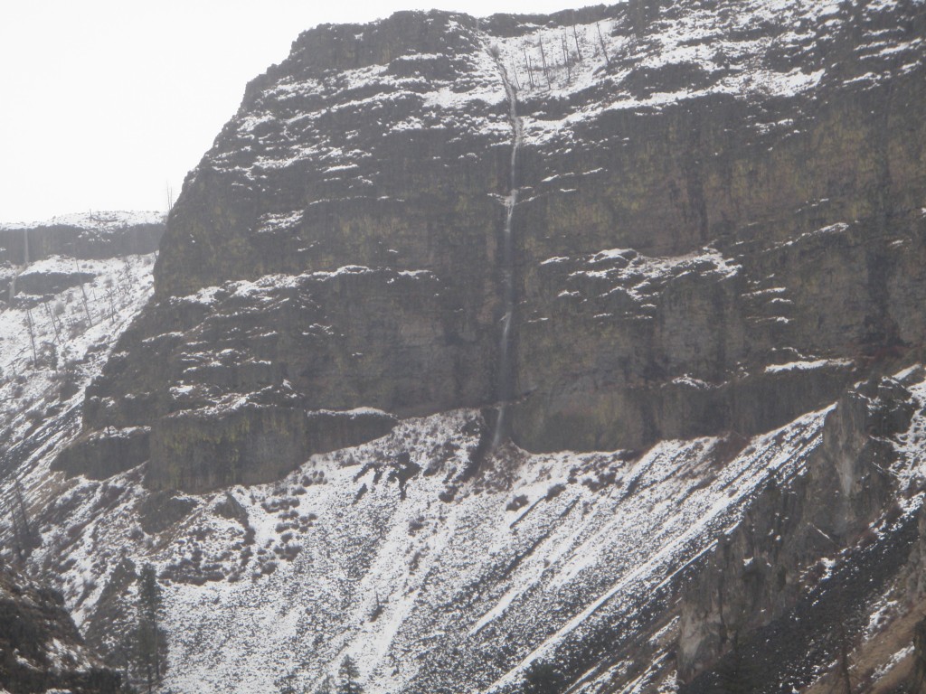
Well downstream, near Neal Bridge, the effects of rain on snow and the melting can be observed where a waterfall appeared on the far canyon wall:
Once you are at Neal Bridge the most direct route back to Boise is the Blacks Creek Road, some of it winds along the top of the canyon walls overlooking Arrowrock Reservoir. Then the roads drops down to the bottom of a draw, crossing Willow Creek, then climbing the grade back towards the Blacks Creek drainage that flows west towards Interstate 84.
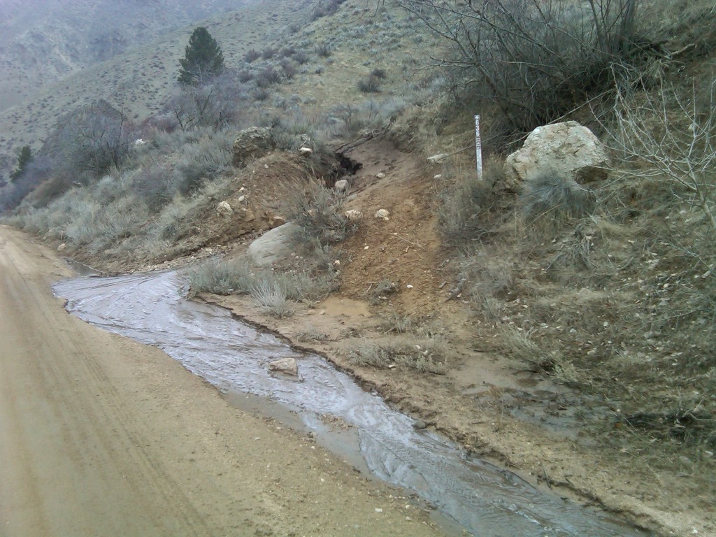
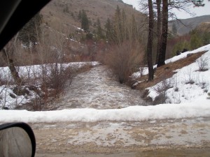 Willow Creek drains the Danskin Mountains. It is a lower elevation watershed, and the winter storms can bring big time flows in a small stream. The photo at right shows the nontrivial amount of water gushing down Willow Creek in February. Much of the runoff from this area is done in spring, and a summer visit to this cross will find no water flowing through the culvert. Nonetheless Willow Creek is thought to support some spawning run of rainbow trout coming from Arrowrock Reservoir. Most likely it would be an early spring run.
A month or so after the above photos from February we encountered some additional winter moisture effects along the South Fork.
Near the “Pine Tree Hole” where Granite Creek meets the South Fork Boise River (about 1.5 miles downstream of the Cow Creek bridge), there is a short segment of ATV trail that roughly parallels Granite Creek. As the snow melted in mid March we noted the water being channeled in the trail rather than being cross drained on to the hill slopes. The result was erosion of the ATV trail and a gully formed at the lower end where the motorized trail meets the South Fork Boise road. Mud was spreading along the edge and into the road.
Fortunately the road was containing the small mud flow and preventing it from reaching the river, or Granite Creek because the road slope was the other direction. Unlike golf, here’s one case where the break was away from water. Once notified, Forest crews were dispatched to address the problem and deal the need for functioning drainage.
The winter months bring disturbances, and the precipitation can induce erosion along the river with its roads and recreation facilities. Delivery of sediment to the river can have negative consequences for the aquatic system, affecting trout productivity. Possibly affecting the community of bugs in the stream as well. These small impacts can accumulate and are the kind of things that need attention along the South Fork Boise River.
