News

Fire Effects: Cow Creek to Danskin

We made an afternoon trip to the South Fork Boise River on August 21 to observe the effects of the Elk Fire.

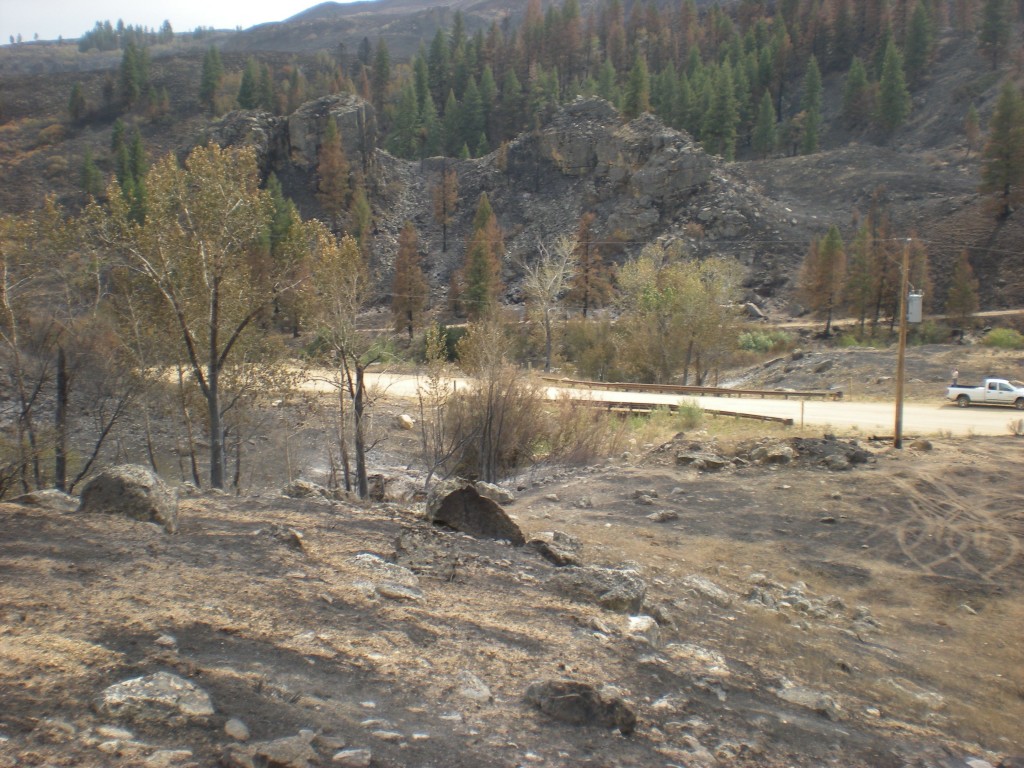
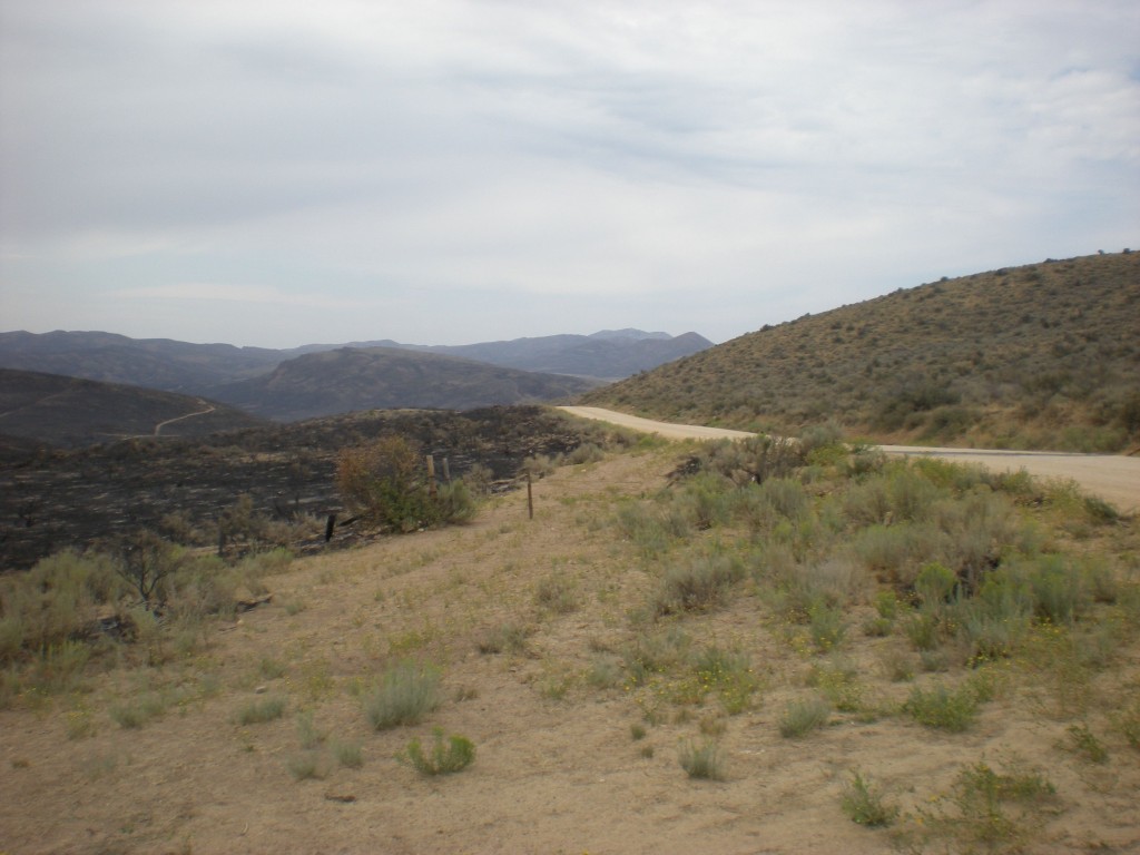
Prairie Road with burned area south of the descent into Cow Creek

Since the aerial photos that came in Monday were of the South Fork from Reclamation Village to Indian Point (or Indian Rock for some of you) our trek was for the downstream section from Cow Creek bridge to Danskin Bridge.

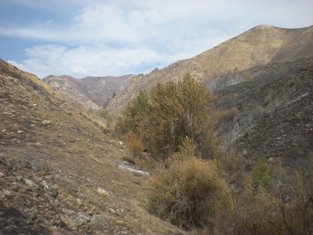
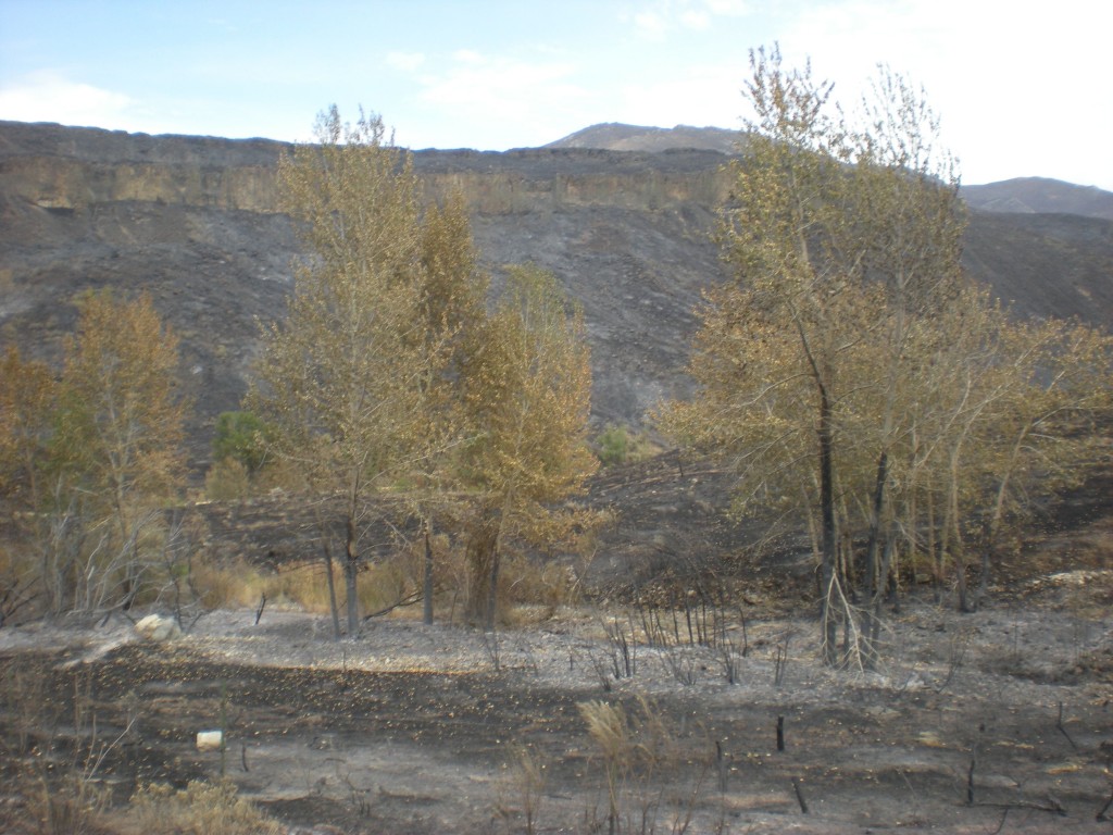
Lower Cow Creek where the fire burned through

The drive descending Cow Creek showed many sections not affected by fire while the hillsides had burned.  The photo above shows near the end of cow creek where it enters the valley bottom the fire burned through the trees and took the brush and grasses.

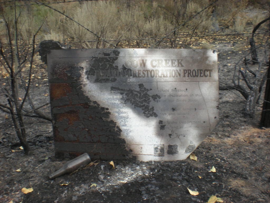
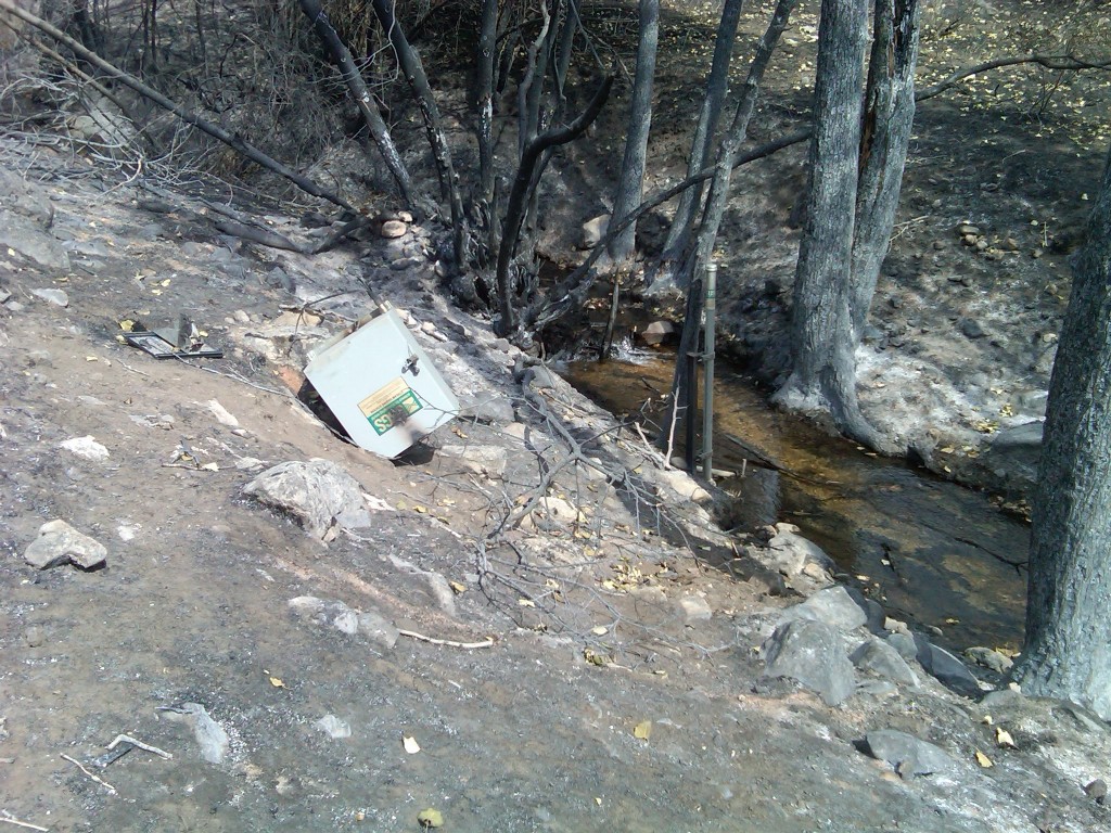
Cow Creek Riparian Restoration sign from 1992

Long hidden in the brush was the commemorative sign of the Cow Creek riparian restoration project from 1992.  What is left of the wording and logos is ash burned on to the medal sign.  The logos for Trout Unlimited, Forest Service and Boise Valley Fly Fishers are still visible.  The beer bottle was not placed there for the photo.  Indeed, cans and bottles are now revealed in many locations where the brush burned, exposing litter from long ago.

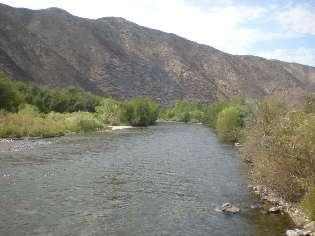
View downstream from Cow Creek Bridge

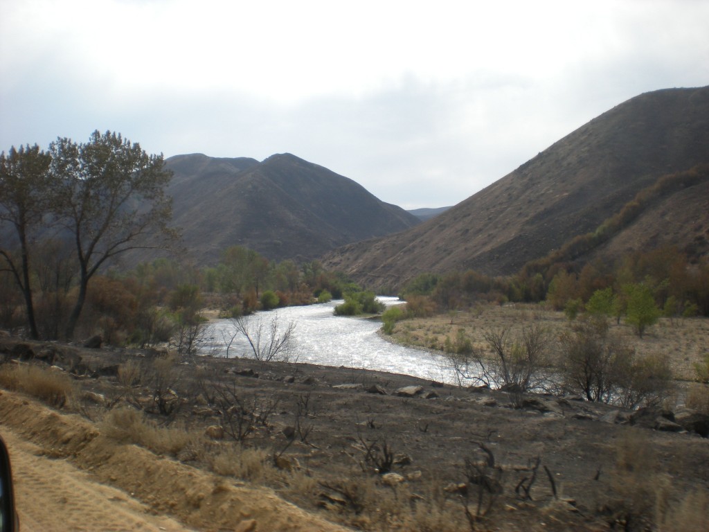
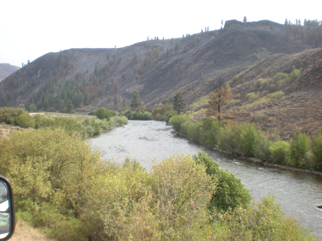
From the vantage point of the Cow Creek bridge the conditions downstream look largely unaffected along the river.

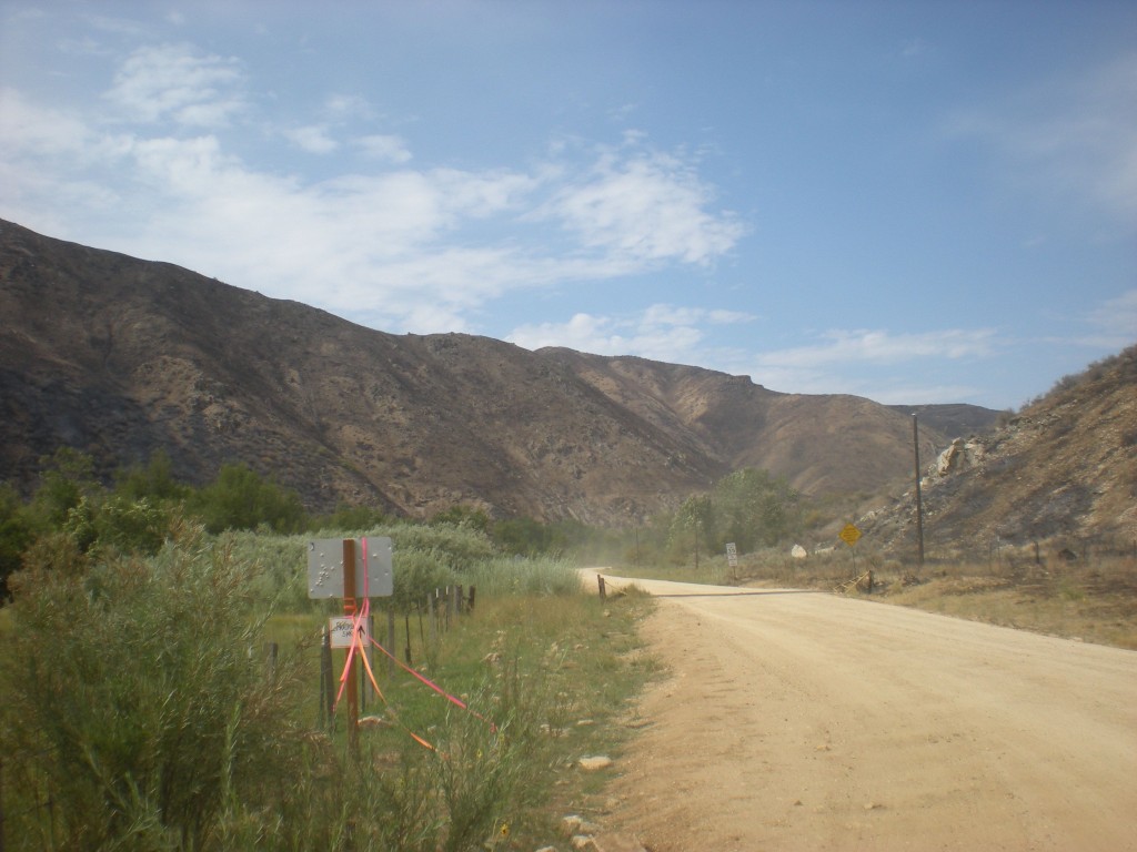
Prairie Road from the Cow Creek bridge approach

In this area the Prairie Road appears to have served as a fire break.  The right edge of the photo shows the edge of the burn down the hill side.

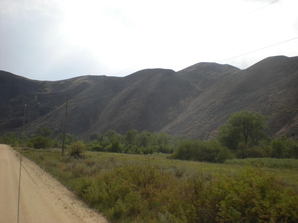
Meadow along braided section

The unburned section (at least as observed from the road) reaches more than a mile.  Despite the area being open since only 5:00 p.m. on Tuesday, by Wednesday afternoon there was already an RV and drift boat settled in at campsite 121Q, also known as the meadow, where the multiple channels join together.  UPDATE 8/23/13:  Actually only the road is open but an area closure on the Forest Service lands is still in effect.

Downstream of 121R campsite

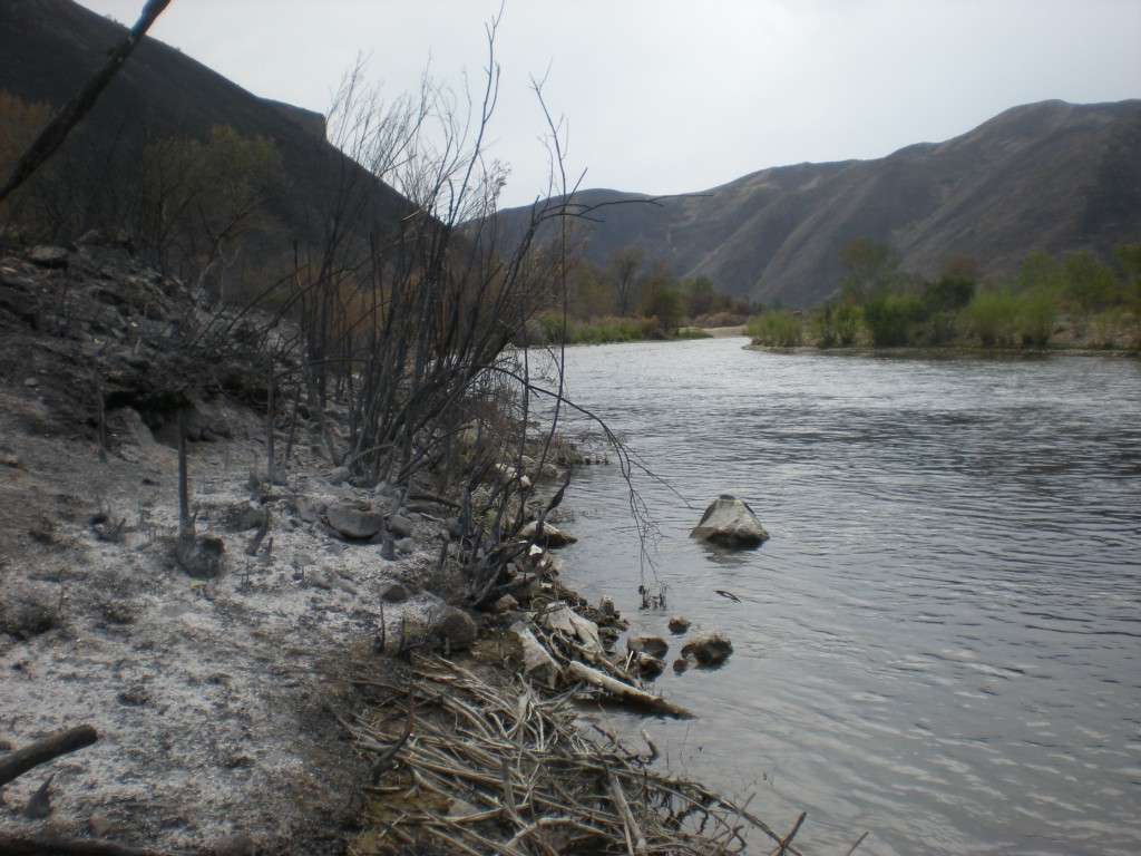
Things get more interesting as one moves downstream past the 121R campsite, also known to some as the “Dead Deer Hole.”  The photo above looks back upstream through a section of stream bank where the brush burned through to waters edge.

Here is a nice close up of the burned area along the river, looking upstream.  In the background the unbuned riparian areas are evident.  Some patches burned and others did not.

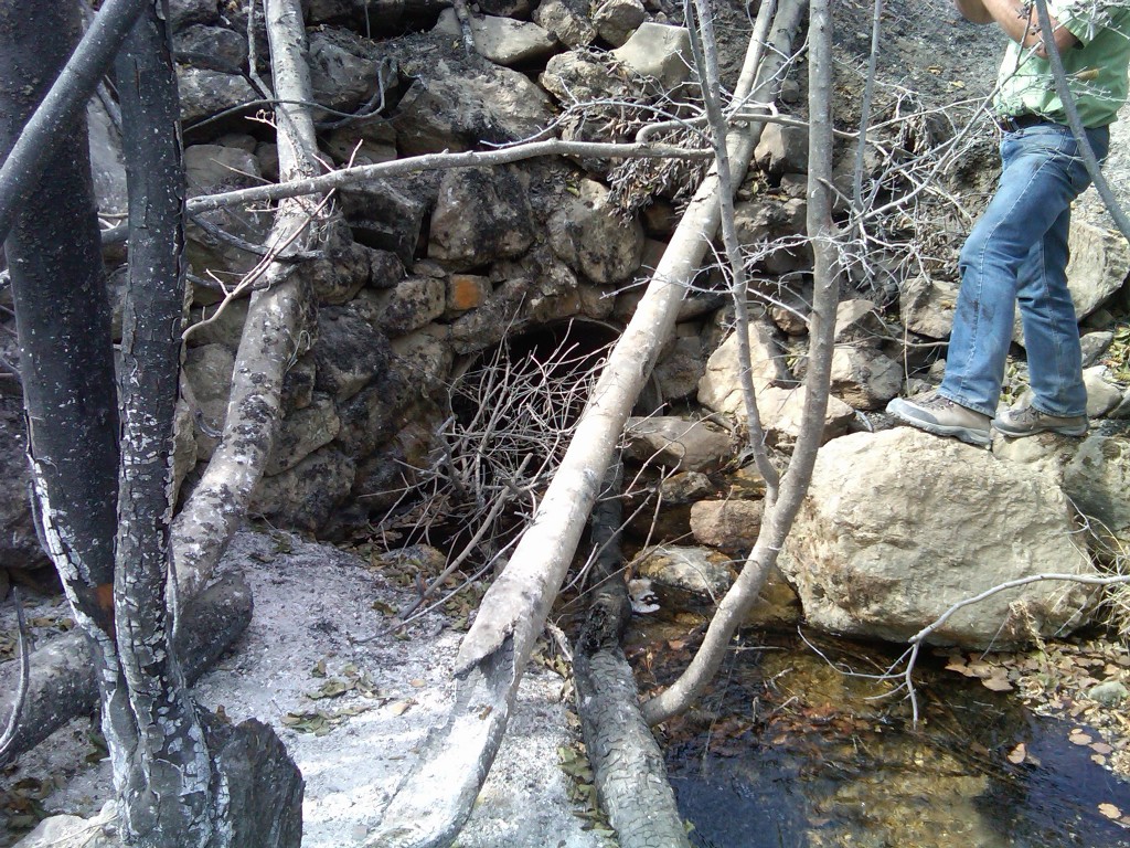
Granite Creek culvert

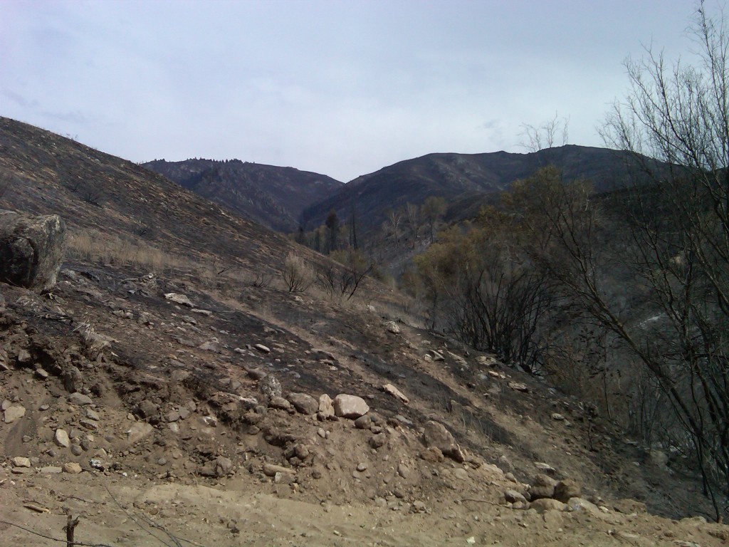
Just downstream of 121R the little stream of Granite Creek meets the South Fork.  But not before it goes through a 36″ diameter culvert under the South Fork road.  The photo above shows the relatively small culvert, a concern given that the watershed as seen in the photo below, appears to have burned over.

Granite Creek watershed

Granite Creek could be a ticking time bomb for the South Fork.  A heavy rain on this watershed could cause a gully washer and if the culvert gets plugged the flood could take out the road.  The amount of sediment that will go to the South Fork is going to go up from this watershed.  The question is how much and what can be done to control erosion.  Fortunately the Forest Service is attuned to these immediate after effects from a fire and will be scouting the burned area for vulnerable locations.

Rock garden and Pine Tree Hole

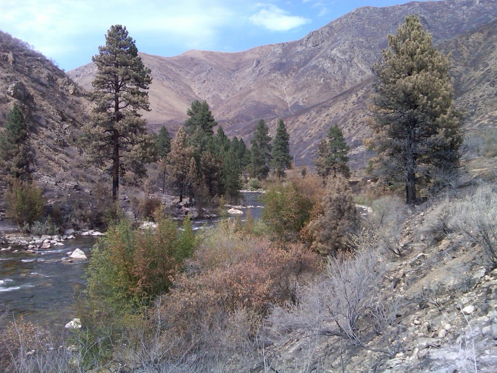
Immediately downstream of the confluence of Granite Creek and the South Fork is the section known as the Rock Garden followed by the Pine Tree Hole.  The photo above represents the fire effects in a microcosm showing much of the brush burned completely, some with less severe burn, and some riparian brush that is still green.  The trees also exhibit different fire effects where some of the pine trees in the foreground were probably killed by the fire while others in the background appear to be in a position to survive.  In the distance the iconic ponderosa pines at the Pine Tree Hole pullout appear to have made it.

Below the Pine Tree Hole

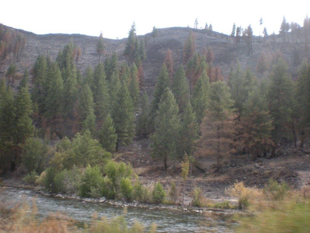
Areas downstream of the Pine Tree Hole show more of the fire damage is upslope from the river, where many of the conifers burned, some also will survive.

Looking upstream from the Danskin Rock Shelter

Further downstream the juxtaposition of fire effects on upslope v. riparian areas is more evident.  Here, one of the pines on the south side nearly all brown but the others upstream appear in better shape.

Pierce Creek watershed

Then we got to Pierce Creek.  Site of the major investment in a new bridge that made possible Pierce Creek to be reconnected to the South Fork of the Boise River, the watershed appears to have a significant amount of fire.

USGS gage

One casualty of the fire is the stream gage that USGS had installed on Pierce Creek.

Pierce Creek bridge and South Fork road

Volunteers who helped plant around the area around the bridge over Pierce Creek may be pleased to learn that their efforts are not lost to fire as the vegetation in that area escaped the severe fire effects observed in the foreground where the grass and brush turned to ash and where the trees and willow burned along the creek.

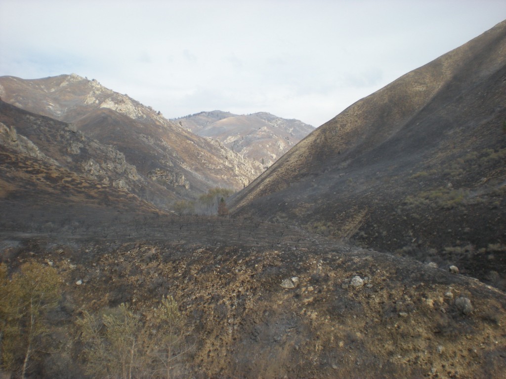
Pierce Creek watershed from the Prairie Road

Further up in the watershed the view from the Prairie Road makes evident the fire effects across the watershed.  Reports from the first day of the wildfire had stated the burn went up House Mountain, the highest peak in the photo above.

Actions to lessen the erosion into Pierce Creek and to recover the watershed will be a focus of future efforts.  These efforts are needed to secure the investment in the Pierce Creek bridge that has opened this watershed to the South Fork of the Boise River.  This website will continue to update interested readers as government agency plans are formed to address the near term rehabilitation actions.
 

First Fire Photos Emerge

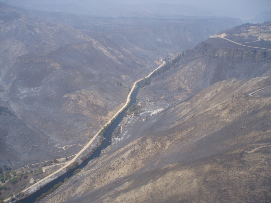
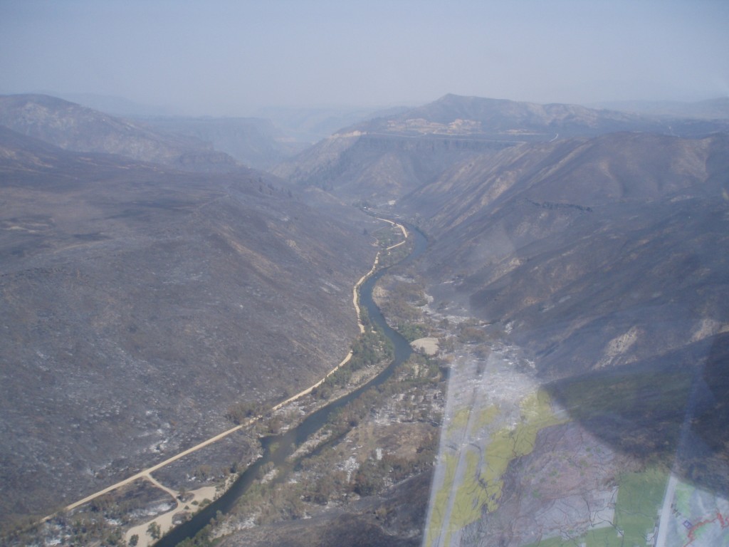
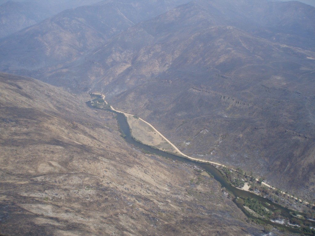
Here are some aerial photos of the South Fork Boise River canyon downstream of Anderson Ranch Dam.  Photos courtesy the US Forest Service

These are the first photos to emerge since the wildfire (Pony on the south side, Elk on the north side) swept through the canyon August 8 – 10.

Order is from upstream to downstream.  If you click on the photo you will get a larger version and it will do a slide show of the seven pictures.  If you just scroll through the article you get a little bit of commentary.

Looking upstream Reclamation Village at left and Anderson homestead in the middle

The single house at Reclamation Village is still standing.  As are many trees, or at least the canopy is green.  It appears the South Fork road and the driveway through Rec Village served as a fire break.  Looking upstream, the bridge over the river leads to the home on the south side of the river and the area surrounding that appears to have burned severely.  Reportedly the fire swept into the South Fork canyon from the Dixie area on the plateau to the south.  It came down Dixie Creek and reportedly burned some out buildings.  But in the foreground of the photo it appears some of the hill side has some unburned areas.

Further upstream on the hill slope south of the river it appears several conifers, ponderosa pine mainly, may have survived.

This photo shows three of the turn outs and campsites downstream of Reclamation Village, which is at the top of the photo.  Obscured by the apparent greenery is the Reclamation Village boat launch, camping and rest room, designated as route 121I in the Boise National Forest Motor Vehicle Use Map.  The dredge pile on the south side of the river (right side as we look upstream) may have protected some vegetation from the fire. It is across the river from the pull off 121J, also known by many as the Bridge Abutment Hole.  Near the bottom of the photo is pull out and campsite 121K.

In this section of the river the hill sides burned severely on both sides of the river.  The valley bottom has areas both burned and unburned.  Both sides of the river have some areas that look relatively unscathed and others where some of the trees near the river were scorched.

Hills blackened but stream side vegetation still green in places

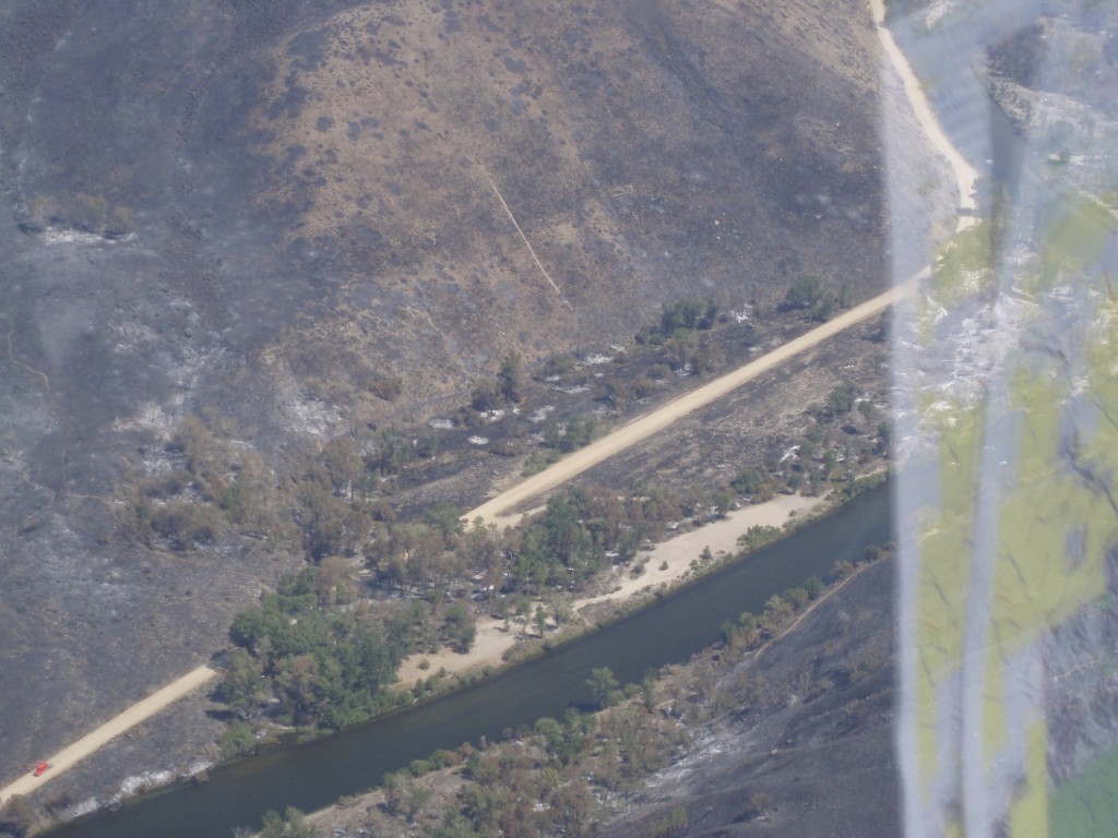
This photo shows the hill side on the north side of the river where areas are black and other spots appear not burned as severely or not burned.  This is the 121L driveway and camp site.

Close up of river bank and drive way

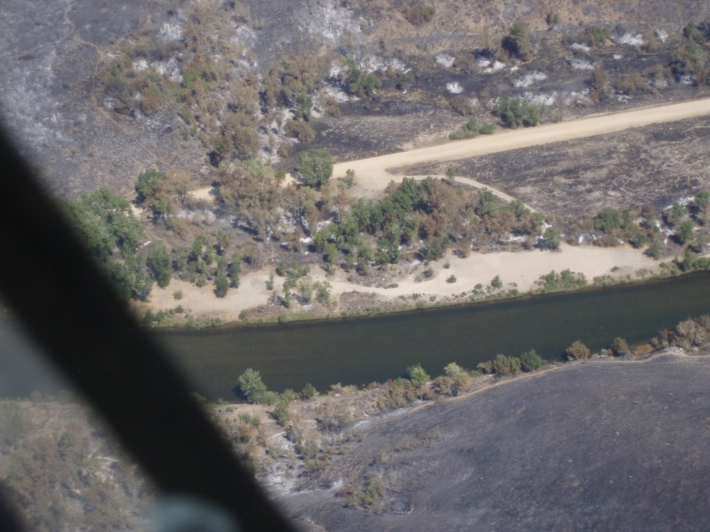
The fourth photo above narrows in on 121L and the river bank, and it gives us a good idea what burned and did not burn.  While the scientific literature on the effects of fire on riparian areas is not that easy to find, one study published ten years ago has a synthesizes information with some observations potentially relevant to the South Fork Boise:

Most cottonwood and willow species respond to browsing by beaver and fluvial disturbances through coppice sprouting from stems, as well as production of root suckers (Rood et al., 1994). These adaptations also contribute to regeneration following fire. In floodplain forests along the Oldman River in southern Alberta, Canada, 75% of the cottonwood trees sprouted vigorously from stumps within 5 months of an early spring fire (Gom and Rood, 1999). Root suckers were also common, demonstrating that fire stimulated clonal regeneration of native riparian cottonwoods. In south-central New Mexico, over 40% of Rio Grande cottonwoods (Populus deltoides wislizenii) that burned in two study sites produced shoots that survived at least 2 years following fire (Ellis, 2001). About 73% of the native Goodding willow individuals produced shoot sprouts during the first 4 months following burning, but only 55% of the exotic tamarisk (Tamarix ramosissima) individuals sprouted (Ellis, 2001).

Importantly the paper also notes this caution:

Season of fire may be a critical factor in determining the capacity of cottonwoods and willows to survive fire. For example, severe summer fires in the southwestern US may kill some cottonwoods, particularly trees that are stressed or senescent (Busch and Smith, 1993; Busch, 1995).

Islands on the South Fork Boise appear less affected by fire

The photo above shows in the areas where the stream is braided into multiple channels the islands appear less affected than the riparian areas on outside stream banks.  Campsites 121L and 121M are both in the photo.

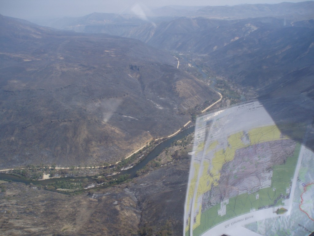
Looking downstream. North side burn appears worse than hills on south side of the river

The photographer then pivots and looks downstream with campsite 121M still in the frame.  And, further in the distance is 121N where the South Fork and the road converge at the downstream end of the bench along the river.

In places along the canyon where the hill sides burned the immediate risk is a heavy storm could cause erosion.  The government agencies will look first at emergency rehabilitation actions that need to be implemented to lesses the risk of negative effects from such storm events.  Lots of rain could cause gully erosion and wash out a section of the road or put sediment into the South Fork of the Boise River.

For example, the ridge line in the distance of the photo above is the divide beyond which water drains into Rough Creek, the small stream that dumps in to the South Fork at the site of the 1996 landslide.  If this catchment burned over and has little vegetation and ground cover a significant rain storm could lead to a gully washer-type event.

Indian Point

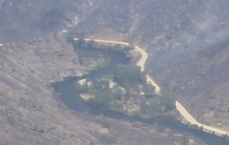
The last photo above is cropped from the previous one and zooms in on Indian Point (121O), the boat take out point for many float and fishing.  The trees in this area appear rather unscathed.

No photos yet of areas downstream.  When we get more information we will post it.

Photos courtesy the US Forest Service.


South Fork is Ultimate Winner Again of Fly Casting Tournament

By Greg Clark

The 3rd Annual Trout Unlimited Fly Casting Tournament was held at Eagle Island State Park on Saturday, May 11, and raised thousands of dollars to benefit the South Fork Boise River fishery.  The event attracted over 150 people, among them team participants, sponsors, judges, volunteers, and spectators.

The Judges

The weather was unseasonably warm with temperatures easily above the 90 degree mark in the afternoon, however the winds were almost nonexistent most of the day and benefited all of the competitors.

Two rounds of competition were held.  The morning had the Gold division with expert casters and some who wish they were experts.  The afternoon round hosted the Silver division with people of various skills and experience, but united in having some fun and a little competition.

The seven Gold division teams, including one all women team (each comprised of four individuals) competed throughout the morning on fourteen

Janet Downey casts while the rest of the Idaho Angler team watches during the Gold division competition

land or water-based casting targets or “holes.” A team’s best three individual member’s scores per hole were then added together in comprising the team score.  Just as in golf, lowest total score on the 14 holes wins.

While the competition among teams can get pretty serious at times, the main purpose was to bring fly fishers, flyfishing groups, and local businesses together and raise money for protection and enhancement of a fishery that everyone has a common interest in and can support…and making sure everyone has plenty of fun along the way.  For example, here’s a comment from Whitefish Ed who was part of the Gold division team Whitefish Rules.

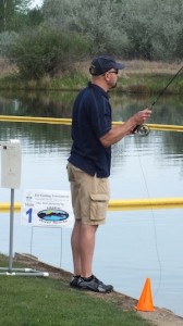
Contestant casts to one of the water targets

Last year’s 2nd Annual Fly Casting Tournament in 2012 kick-started the focus on flow management of the South Fork Boise River, and in late summer 2012 the first assessment was made of the effects on juvenile trout and on the macroinvertebrate community when the river flows are decreased.

Results from the 2012 work will be released this summer.  Stay tuned to this website for information.

Work will continue in 2013 and following years to assess river flows on fish stranding with the goal of finding a flow management that can improve the fishery.

This year’s Tournament continues the momentum we have built for the South Fork Boise River fishery.

At the end of the Gold division competition, a delicious lunch was served, prizes were presented to the top three Gold division teams, and a variety of raffle items were won.

Gold division results:

Willowcreek Grill

1st place – Team Willowcreek Grill (a repeat champion, pictured at left. L to R: J.D. Miller, Chris Gerono, Dave Klein, Graham McKenzie)

2nd place – Anglers (Erik Moncada, Dave Gourley, Bret Bishop and Pete Erickson).

3rd place – Otter Shrimps (Richard Prange, Jeff Barney, Marty Downey, Bill Hagdorn)

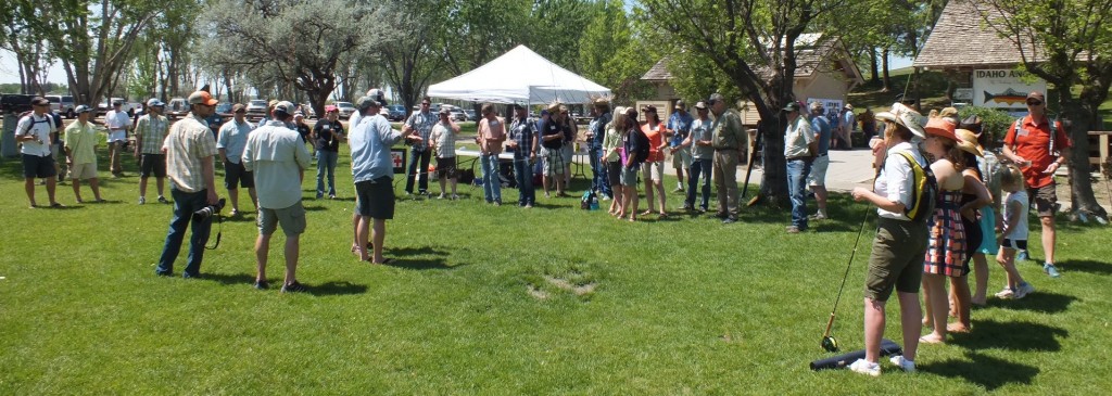
Silver division teams get the instructions prior to the shotgun start

The afternoon then included 12 Silver Division teams competing, including three all-women teams, and a good mix of returning competitors and new teams.  Aileen Ellis from Team Trifecta has posted a report with her review of the tournament.

As the Silver division teams completed the course everyone returned to the shelter for a cold one and to hear some recognition and gratitude to all of the sponsors and the TU Ted Trueblood Chapter Board members for their contributions and tireless efforts toward this wonderful event. Prizes were presented to the top three Silver division teams and a heartfelt thank you given to all involved.

Silver division results:

The Bush Hookers

1st place – Dr. Arave and his ringers

2nd place – Amateur Hour (Bret Andreason, Andy Andregg, Jeff Tonkin, Bill Tonkin)

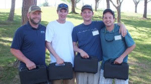
3rd place – Bush Hookers (photo at left, Neal L to R

Immediately at the awards Dr. Arave showed he is a class act and he handed the 1st place prize, some top-rate fly line, to the 4th place team: the Better than TU team sponsored by the Boise Valley Fly Fishers.  Dr. Arave also was a hole sponsor at the tournament.

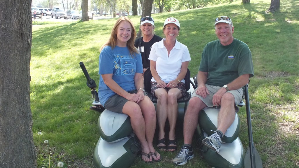
The last act of the afternoon was a raffle was held for an NRS Gigbob personal fishing watercraft, donated by Idaho River Sports.  It was won by Connie Martineau, who was tickled at winning the boat she really wanted!

Jo Cassin (L) and Stan Kolby (R) flank Connie Martineau, winner of the Gigbob raffle

If you participated in the tournament we would like to hear your experience and you can post in the comment section below.  Thanks to everyone who supported the event!

Year Three Fly Casting Tournament benefits the South Fork Boise River Fishery

The 3rd Annual Fly Casting Tournament is set for May 11, 2013, at Eagle Island State Park.

The cause remains the same: conservation of the South Fork Boise River wild trout fishery.

A day of competition and camaraderie begets conservation.  Sponsored by the Ted Trueblood Chapter of Trout Unlimited, the Fly Casting Tournament attracts more than 100 participants plus an equal number of judges and spectators.  All are there for the cause of the South Fork Boise River fishery.  You can join in the event through participating on a team or as a spectator.  Check out the Tournament webpage here.

Just as this website tries to demonstrate the number of different agencies and groups involved in the South Fork Boise River, the Fly Casting Tournament is also a showcase of cooperation.  Some examples:

The Boise Valley Fly Fishers has become over three years the single largest financial contributor to the Fly Casting Tournament, and therefore to the South Fork Boise, by being a Gold Sponsor and fielding several fly fishing teams.

Last year BVFF fielded a Gold team including notables like Marty Downey, Tom Labreque, Craig Estell and Gino White.  The club also put two teams in the Silver division.

As the longest continuing fly fishing club in the Boise area the BVFF have time and again stepped up for the South Fork Boise River.  And their presence at the Fly Casting Tournament is evident.

A stand out contributor to the event is Idaho Angler.  In their third year as a Gold Sponsor the fly shop has helped provide cash donations, prize winnings as well as great connections for putting together teams.

Shop owner Rick Williams helped with the original course design in 2011.

With the 20-year anniversary of the store being celebrated on May 4, the week prior to the Fly Casting Tournament, it’s a good time to reflect how this business has become an establishment specialty shop with professional staff who know the South Fork Boise River.

Not to be surpassed is the support from Anglers fly shop and owner John Wolter.

John has great customer connections which brought more fly casting teams to the tournament than any one else, and Anglers provides Gold Sponsor support with financial and merchandise contributions.  John has established credibility not only with the Anglers shop but also with informed insight how to fish the South Fork Boise River during the summer.  We’re not going into details here so you will have to ask him yourself.

The success of the first Fly Casting Tournament in 2011 contributed the funds that made possible the completion of the Pierce Creek reconnection to the South Fork of the Boise River. A culvert is gone, a new steel bridge crosses Pierce Creek and wild trout have access to tributary spawning habitat.

The 2nd Annual Fly Casting Tournament in 2012 kick-started the focus on flow management of the South Fork Boise River and in late summer 2012 the first assessment was made of the effects on juvenile trout and on the macroinvertebrate community when the river flows are decreased. Results from this work will be released this summer.

Work will continue in 2013 and following years to assess river flows on fish stranding with the goal of finding a flow management that can improve the fishery.  The 3rd Annual Fly Casting Tournament will be a critical piece to funding the conservation work on the South Fork Boise River.

Fishery Population Status I: 2012 the latest sampling numbers

Idaho Fish and Game biologist Joe Kozfkay came to the January 9th meeting of the Ted Trueblood Chapter of Trout Unlimited with an update on the South Fork Boise River fishery, showing the 2012 trout population appears stable or increasing depending on fish size.

As manager of the Southwest Idaho Region’s fisheries Kozfkay came loaded with data and historical information in his Powerpoint slide show.  And he explored many facets of this river resource we all cherish.  Over the next few posts we will break down the information.  This update looks at the overall population densities for the latest samping efforts.

Like any good drama, the results were held until towards the end of the presentation, but it was well worth the wait as Continue Reading…