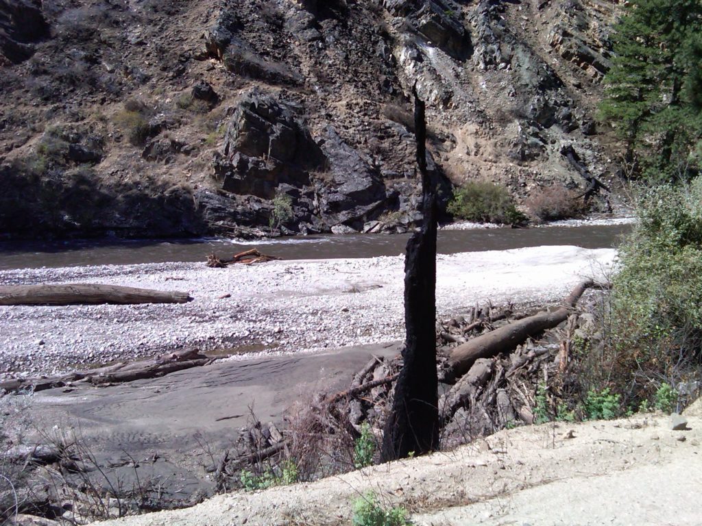
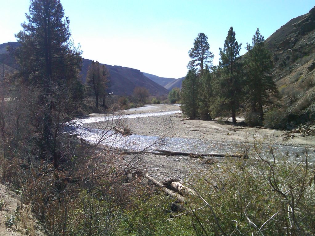
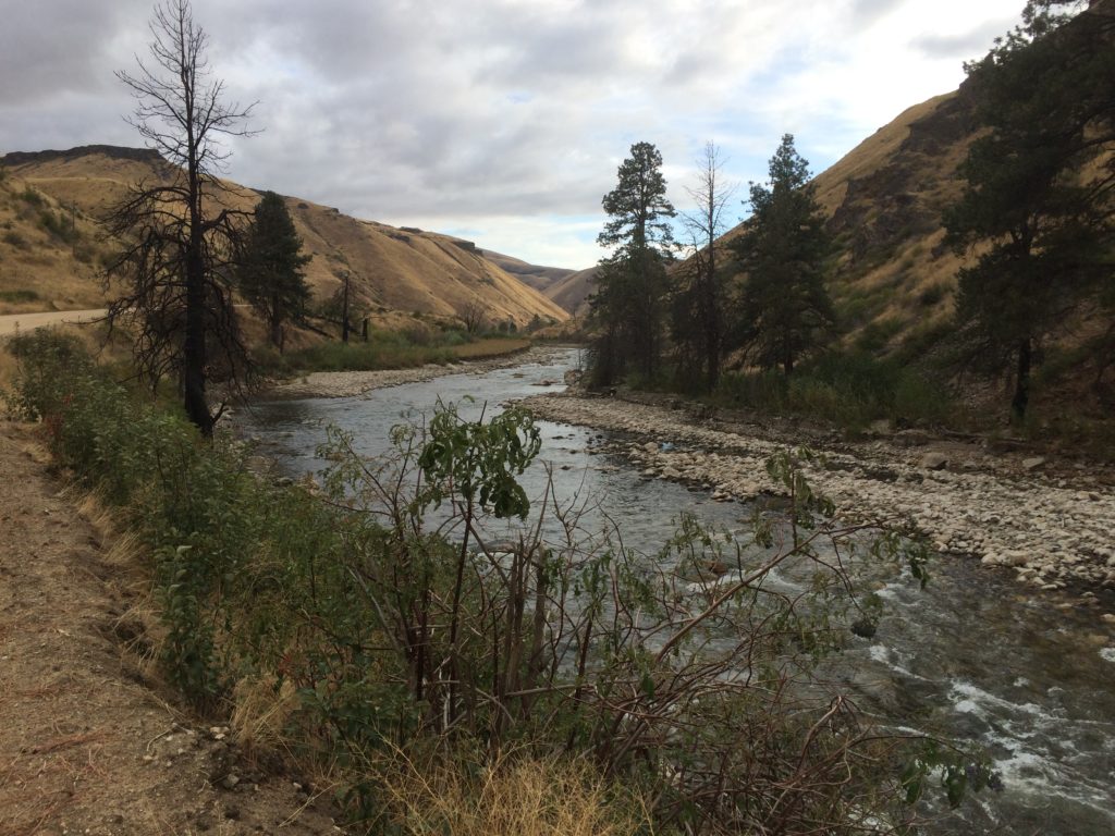
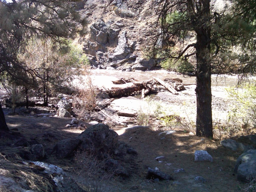
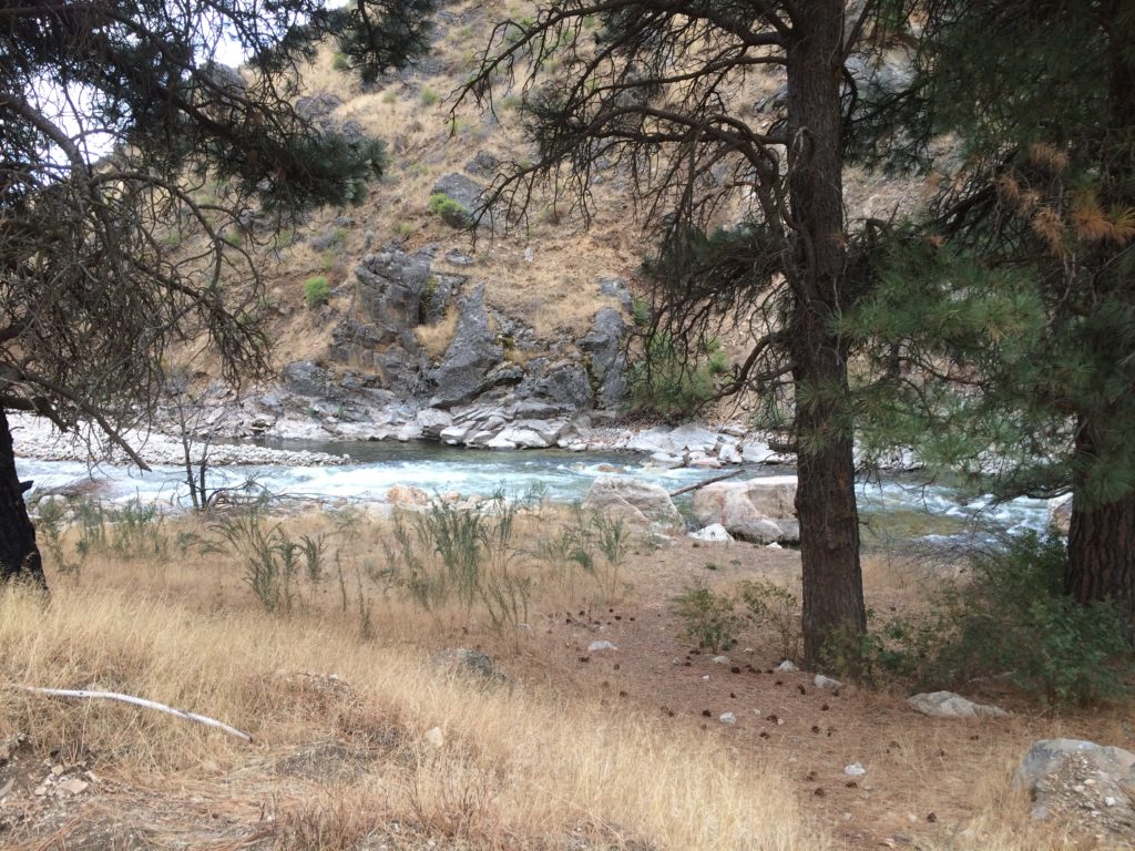
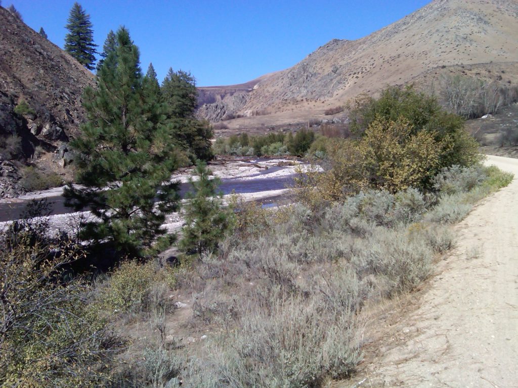
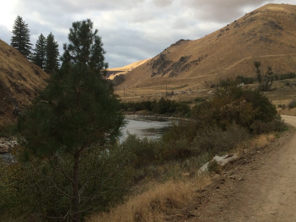
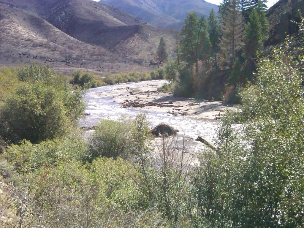
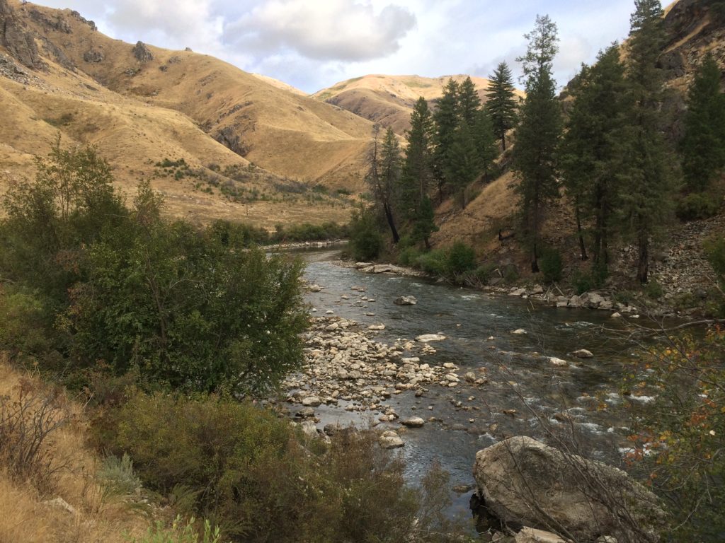
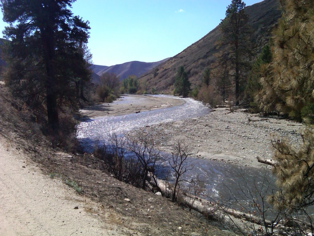
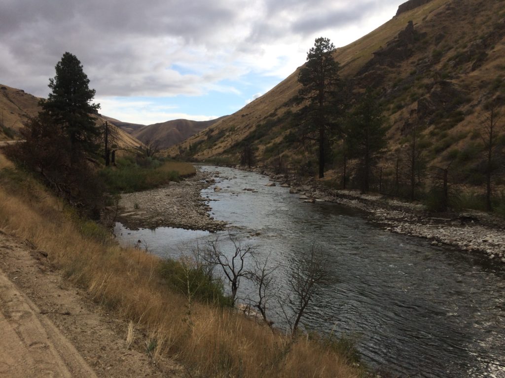
Here are some photographs showing the movement of sediment from the Granite Creek area where it enters the South Fork Boise River just upstream of the “Pine Tree Hole” a mile or so downstream of Cow Creek bridge.
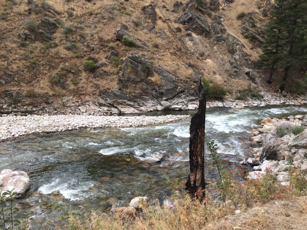
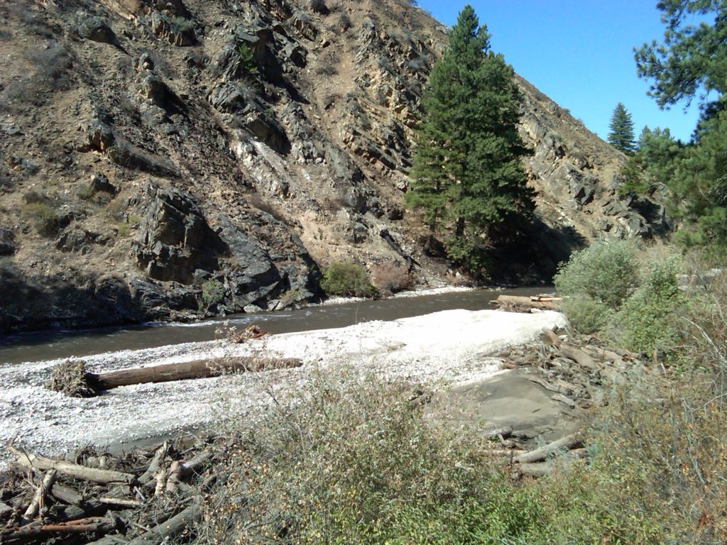
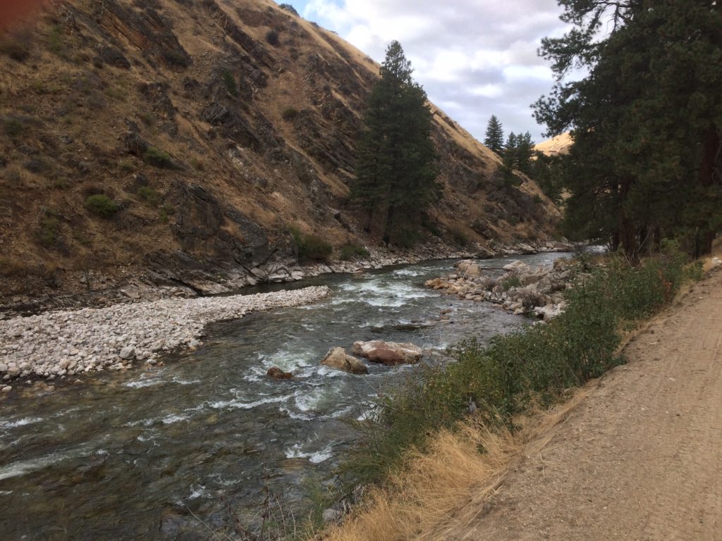
The debris or mud flows occurred on September 12, 2013. The first set of photos was taken Sept. 16, 2013. A comparison photo for the same area was taken Sept. 22, 2017. River flows on both days was 300 cfs.
Enough of the burned tree trunk remains to line up the photo point. Smaller sediment is scoured and gone, as is the wood.
That big tree bole in the upper photo is long gone. When flows are at 7,000+ cfs it floats the logs downstream.
Upper photo just three days after the debris flows and a sinuous channel was routed through the sediment. Four years later the smaller particles are gone and channel is widening, exposing the larger rock that was deposited from the Granite Creek blowout.
The big pile of trees on the large rocks are now washed away. Moreover the large boulders are now re exposed after the river flows scoured the sediment.
Looking downstream the deeper hole appears to have reformed. In the distance the hillside appears barren of sage brush and bitter brush.
Moving downstream a couple hundred years and then during the photo looking upstream the debris has been moved out of this section.
A final photo set, looking upstream, at the head of the pocket water above the pine tree hole.
