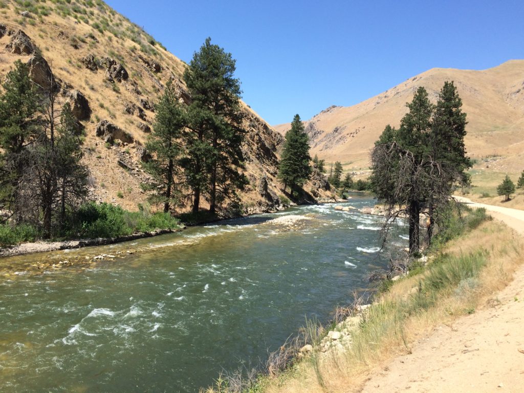
A summer drop in on the South Fork Boise River. A quick stop or two to observe the status of the river after the very high flows in the spring and early summer and it appears much of the sediment has been moved out. Check out this photo of the pocket water emerging again before it dumps into the Pine Tree Hole:
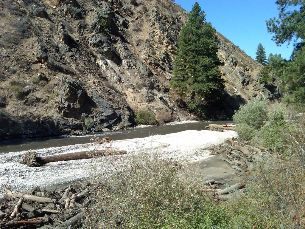
More interesting is if you compare this photo of a broader area to that take after the debris flows into the South Fork in September 2013. Here is a photo that is trained on the conical tree on the other side of the river:

This is where the Rock Garden used to transition into the Pine Tree Hole. Photo taken September 2013.
Two things are different, three really, from these photos. First, the sand bar evident in 2013 is less so in 2017 so some of it has washed away. Second, the wood piled up on the bar and on the right bank is pretty much washed away into the South Fork canyon and ultimately Arrowrock Reservoir. Third, yes there is a third thing, the flows in summer 2017 are in the range of 1,800 cfs and the flows September 16, 2013 was the first day at 300 cfs. So this fall when the river is at 300 cfs we will go back and get some photo point updates for a more straightforward comparison.


